FAIR EASE: services for Earth observation
The recently selected European FAIR-EASE project is part of the HORIZON INFRA 2021 EOSC programme. This project aims to implement distributed and integrated services for the observation and modelling of the Earth system, environment and biodiversity in collaboration with user communities, the European Open Science Cloud (EOSC) and research infrastructures.
The project will implement a FAIR-EASE data discovery and access service, building on existing pre-operational services, to provide users with an easy and FAIR tool for discovery and access to multidisciplinary environmental datasets. It also proposes the implementation of a FAIR-EASE Earth Analysis Laboratory with EOSC connectivity supporting, through web interfaces, predefined processing tools and on-demand data visualisation services for remote analysis and processing of heterogeneous data. Finally, the FAIR-EASE project will develop a number of multidisciplinary user cases to validate and demonstrate the capabilities of the FAIR-EASE service to support open science. These user cases are gathered into 3 themes: “Earth Dynamics and the Environment” (divided into 3 sub-groups: “Coastal Water Dynamics”, “Planning and Management of Critical Earth Areas” and “Space-based Volcano Observation”), “Environmental Biogeochemical Assets” and finally “Biodiversity Observation”.
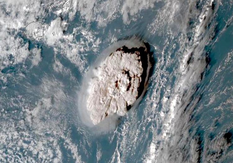
AERIS is involved in the “Space observation of volcanoes” theme: the AERIS/ICARE data and services centre has developed the VOLCPLUME platform, which couples satellite data, ground networks and models to analyse the impact of volcanoes on the composition of the atmosphere. Within the framework of FAIR-EASE, this platform will be extended to integrate other data from the Solid Earth cluster (FORM@TER), such as geodesy data or high-resolution imagery to study ground deformations. One of the challenges is to integrate Copernicus data (InSAR from Sentinel-1, Imagery from Sentinel-2) into the existing platform. A great collaboration to look forward to!