
The multiplicity of forest fires around the world: how to observe them and measure their impact on the atmosphere?
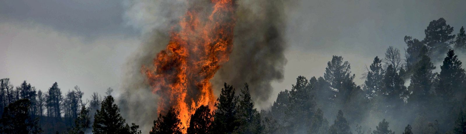
Since the beginning of the summer, some 150 000 fires have been burning around the world, often driven by unprecedented heat waves.
According to researchers from the Intergovernmental Panel on Climate Change (IPCC), the planet will experience an “unprecedented” increase in extreme weather events. However, while the planet has so far gained about 1°C above the pre-industrial level (with a range of 0.8 to 1.2°C), we can already measure the first consequences of this warming.
The summer of 2021 seems to be one of the terrible illustrations. For several weeks now, one dreadful record has followed another. In the United States, California is facing the second largest fire in its history. Siberia is facing fires of a rarely equalled intensity, some 8.7 million hectares have already gone up in smoke and the smoke plumes now reach the North Pole. In southern Europe, Turkey and Greece have also faced fires on an unprecedented scale, facilitated by an unprecedented heatwave. The same is happening in southern Italy and now in Algeria and Tunisia.
Satellite data to observe and analyse this phenomenon
AERIS provides access to numerous satellite data enabling the impact of fires on the atmosphere to be observed and measured.
Like IASI (Atmospheric Infrared Sounding Interferometer) (link): this instrument developed by CNES in cooperation with EUMETSAT equips the European Metop meteorological satellites. Its advantage: IASI measures more than 25 atmospheric components with great precision and contributes to climate monitoring. Thanks to IASI, scientists are able to detect carbon monoxide and monitor smoke plumes caused by fires, as shown in the animation below, which shows smoke plumes in the United States and Siberia.
In addition to detecting and monitoring atmospheric gases such as carbon monoxide or methane in smoke plumes, the IASI instrument can also measure atmospheric temperature and humidity and thus detect climatic anomalies: the record-breaking heat waves in Canada were detected by the IASI instrument in the same way.
IASI level 2 satellite data are available on the IASI portal managed and hosted by AERIS.
Other satellite data allow fires to be observed, such as geostationary satellites: thanks to an animation combining images from several geostationary satellites, the site The Wall makes it possible to observe the extent of fires in different parts of the planet, as in this animation showing the Dixie fires in California and Siberia.

